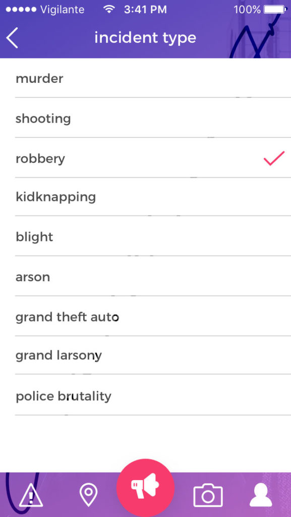
I entered a technology competition, 59 Days of Code in Fresno, California. I entered the zero code track of the competition in which competitors from idea to prototype in 59 days. With the increase in catastrophic shootings and natural disasters that have plagued the country, the idea was to build a mobile application to help make people safer in an increasingly more dangerous world.
Why mobile first? We always have our mobile devices on our person. People have a tendency to pull out their mobile devices in the midst of mayhem to chronicle the event and post it to the web. Mobile also has a litany of sensors that can be leveraged to solve complex problems that feel effortless to the end user.
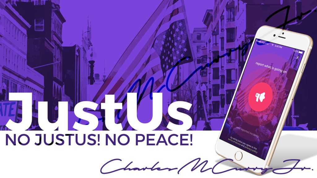
The solution was a mobile app called JustUs. JustUs allowed users to notify nearby people and their authorities of incidents around them. There were three main goals of JustUs. The first was to report crime and injustice; empowering users to make it know if they see something wrong happening. The second was to promote community policing; empowering users to be the change they wanted to see in their community. The last goal of the app was to make communities safer for all. To make JustUs an effective solution, it needed to be lightweight and fast. It was critical that the app was intuitive to use in only a few clicks. It would be unacceptable to have someone fumble through a clunky application during an emergency.
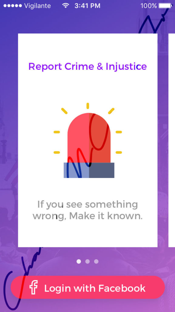
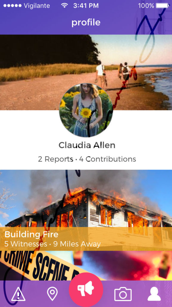
Sign up for JustUs was quick and easy. A user would sign in with Facebook with a few clicks, leveraging Facebook sign-in. While I was cognizant of the fact, that users may have wanted to conceal their identity especially because of the nature of the incidents they may post, it was also necessary to confirm the identity of the posting user. Identity confirmation would discourage false reports. In the event of a false report there would at least be some way to try to track the individual if the authorities needed to.
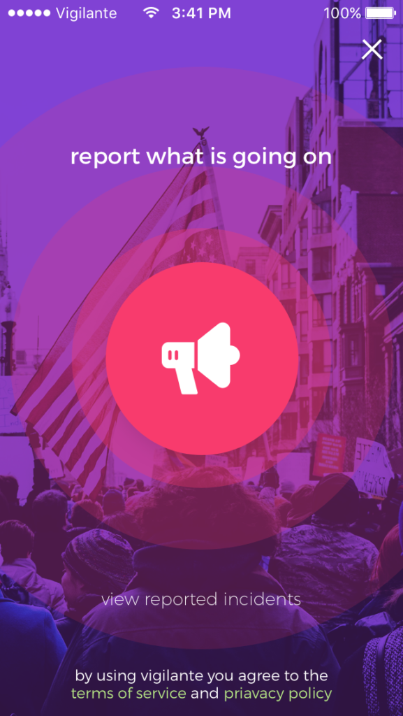
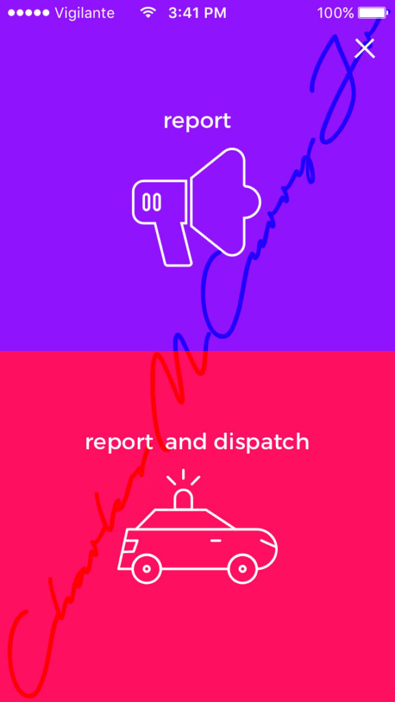
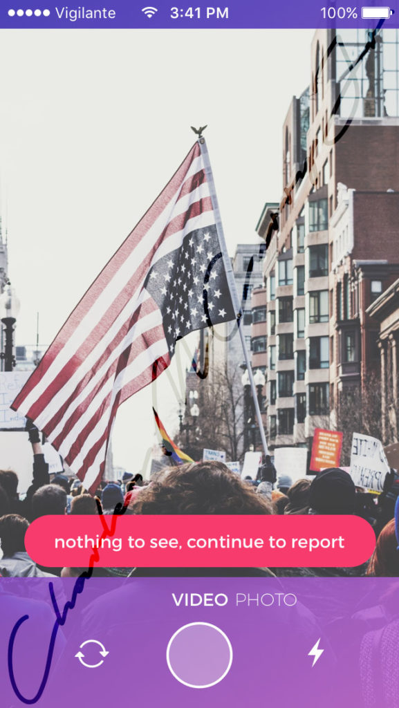
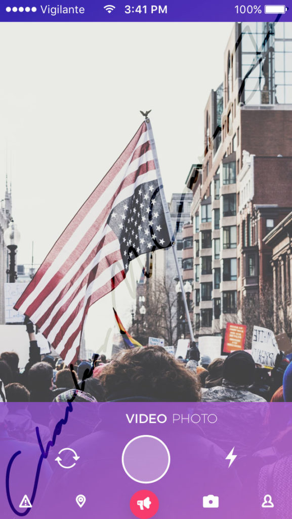
Next the user would see a big red report button, instructing the user to report what is going on. When the button was clicked the user was presented with two options, either report or report and dispatch. To the end user the workflow of both options would be the same. On the back-end however, if the user tapped “report and dispatch” an emergency dispatch API would send the local authorities to the scene of the incident. Regardless of which option was selected, the end user would be presented with a camera view, so that they could record the incident. The recording would be posted to the incident report to be viewed later by people nearby or the authorities.
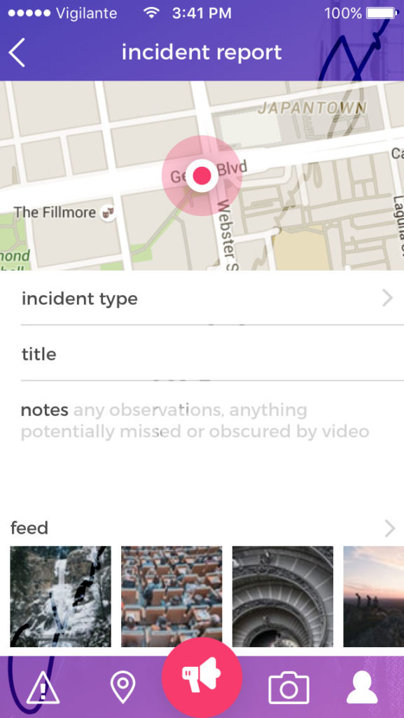
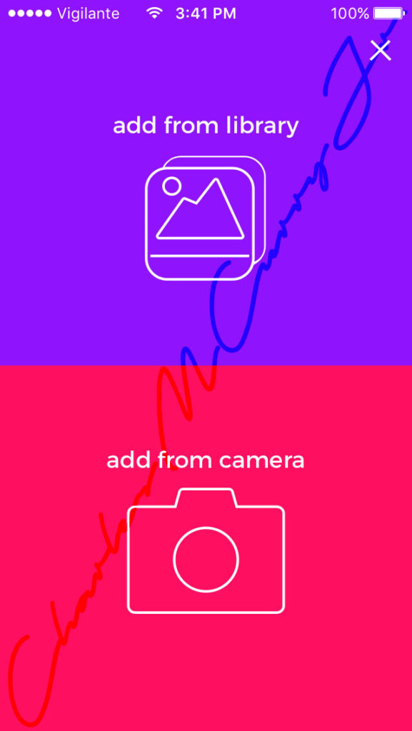
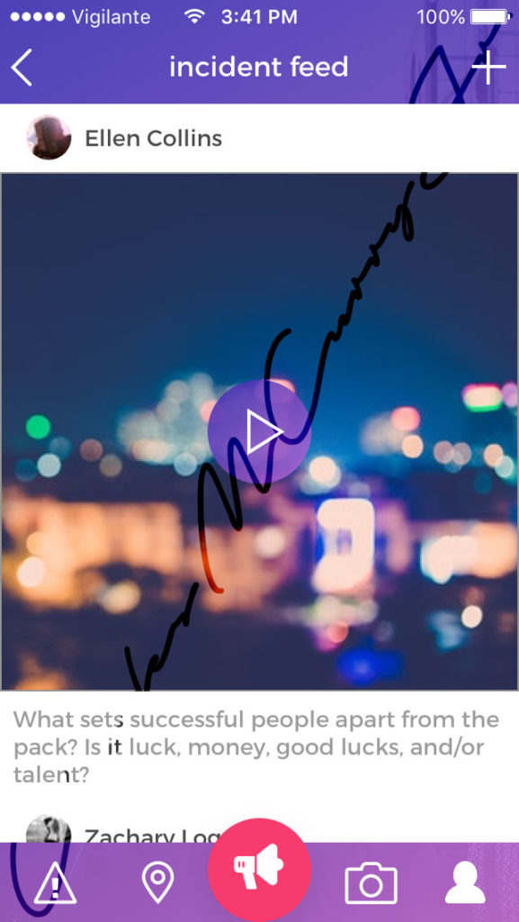
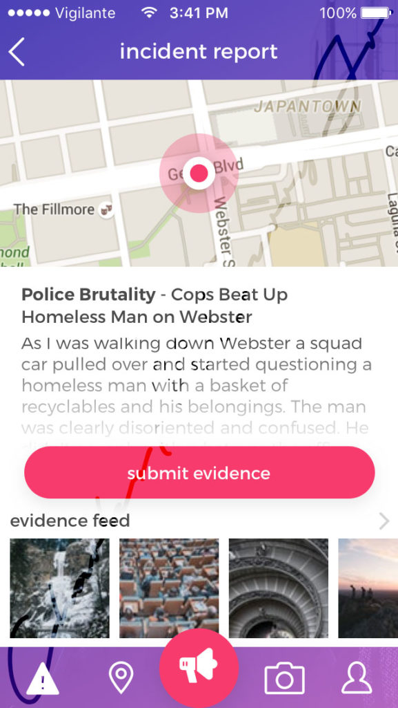
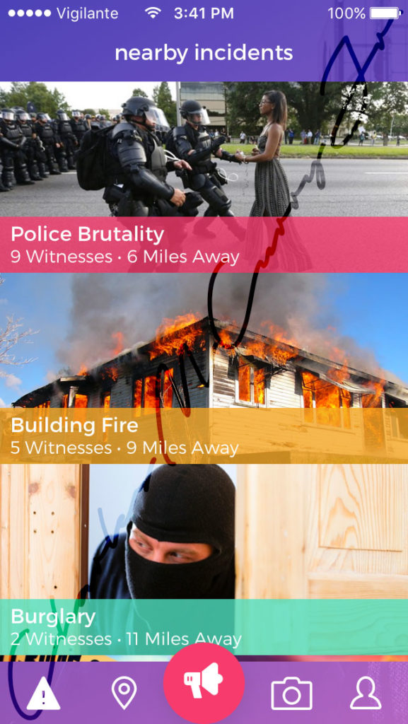
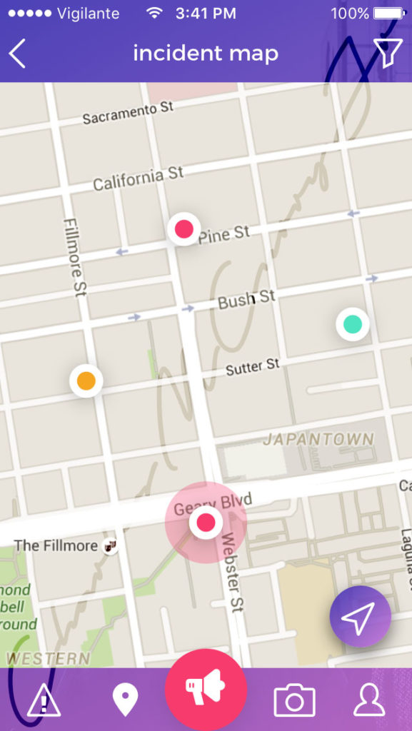
When an incident is reported along with the incident report, a geofence is created around the latitude and longitude intersection of the event. Every app user within the geofence of the incident will be notified of the incident and will be able to post new information, including photos and video to the incident; producing an aggregate crowd-sourced incident report. While all the identities of the reporters will be concealed on the front end of the app, they will be recorded in the database to for possible authority investigations.
This functionality allows users of the app in a locale to notify each other of incidents, allowing them to get to safety, intervene, contribute to the knowledge base, or act in any other way that is appropriate. This makes it possible for anyone to contribute to their community in a meaningful way. All incidents are not necessarily disasters that require authorities to intervene. If your elderly neighbor’s cat is stuck in a tree and you have a ladder, you can help. If a mattress gets abandoned in an empty lot in your neighborhood, someone reports it, someone with a truck, including the city can pick it up.
